


Lineville Guard Armory, Clay County, Alabama
About
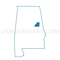
Outline

Summary
| Unique Area Identifier | 521411 |
| Name | Lineville Guard Armory |
| County | Clay County |
| State | Alabama |
| Area (square miles) | 13.37 |
| Land Area (square miles) | 13.11 |
| Water Area (square miles) | 0.26 |
| % of Land Area | 98.08 |
| % of Water Area | 1.92 |
| Latitude of the Internal Point | 33.32798660 |
| Longtitude of the Internal Point | -85.76789820 |
Maps


Graphs
Select a template below for downloading or customizing gragh for Lineville Guard Armory, Clay County, Alabama


Neighbors
Neighoring Voting District (by Name) Neighboring Voting District on the Map
- Ashland Nat'l Guard Armory, Clay County, AL
- Ashland National Guard, Clay County, AL
- Barfield Volunteer Fire Dept., Clay County, AL
- Highland-Coppermine, Clay County, AL
- Lineville Nat'l Guard Armory, Clay County, AL
- Lineville National Guard Voting District, Clay County, AL